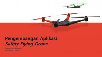
Fly Safe with Your Drone
Along with the increasing numbers of drone user and hobbyist, government of Indonesia release the regulation about operating drone. The outline of the regulation essentially mention about flying drones are limited in some categories; prohibited area, restricted area, safety flight operations area, controlled airspace and uncontrolled airspace at an altitude of 500ft (150m) above. Due to the lack of information about the released regulation, many drone pilots operate their drones illegally. As a result, many cases occurred like drones get stuck in the rooftop, or drone crashes into airplane, and many other cases. Therefore one that will be able to resolve this issue is implementing Geographic Information System (GIS) technology. With GIS, all spatial issues can be analyzed systematically and provide proper information and recommendation. Several method in GIS concept, had been used to analyze spatial data. Spatial Multi-Criteria Evaluation (SMCE) is one of the method to solve this issue. SMCE decompose the problem into smaller criteria and parameters hierarchically. In this research, criteria are taken from regulation by Ministry of Transportation. The result obtained from this implementation is geo-spatial data visualization and distinguished by color as the result from aggregation many spatial data and suit with the criteria. The geo-visualization result will be exported to Android mobile phone so that drone pilots are able to use this application in everywhere and fly safe with its drone. This apps will be ready to be downloaded from PlayStore in the near future.